My brother discovered the Mapping Gothic France website at a lecture. The site is dense with interactivity. The main interface allows you to overlay various historic maps with your choice of current base maps, click on churches and buildings and connect to more information than you can possibly absorb in one viewing.
Like a chef you can mix and match your ingredients as you see fit-below you can see King Philip II invading Normandy over a tasty layer of road map.
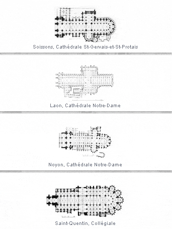
There are timelines, links to authors, stories and essays and lots of information about churches. Each church has its own page with images 360 degree panoramas and stereoscopic views (though I could not get those to load) that require 3D glasses. For dessert, some screen shots from a panel that allows you to select churches and compare images and floor plans.


No comments:
Post a Comment