Seattle lies near the Canadian-American land border, a mere 183 km away. There is a busy land crossing for cars that takes you from Seattle to the Vancouver area. The city is located on an isthmus between Puget Sound (an extension of the Pacific Ocean) and Lake Washington.
Like much of the Pacific Northwest, Seattle has a Marine west coast climate with mild dry (well, sometimes dry) summers, and mild-to-cool wet winters. It is a city that is plagued by clouds and overcast skies, and drizzly rains for much of the year, particularly from October to May.
Here is a detailed Seattle map showing all the main roads and highways.

This great map of Seattle shows all the major raods and highways leading from the suburbs into the city.

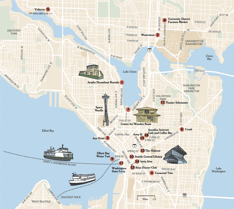
This last Seattle map is a tourist map, showing all the main attractions in the city.
No comments:
Post a Comment